A ramble in the Cotswolds
- Feb 27, 2024
- 5 min read
A couple of weekends back I took a trip to the Cotswolds. They are a region of the UK known for lovely stone villages, pastoral landscapes, and a very nice long distance walking path called the Cotswold Way. I hiked the northern 20-ish miles of the path, from Chipping Campden (I love the village names here) to Cheltenham. It was an adventure from the start, with a (late) taxi from Harlaxton Manor to the Grantham train station, with just a few minutes to collect my tickets and get to the right platform. Luckily the British Railway system is (usually) very punctual and one can generally count on scheduled trains arriving when and where they are supposed to.
The trip to Chipping Campden involved several train changes, and an eventual arrival at Stratford-upon-Avon. Yes, THE Stratford-upon-Avon of Shakespeare fame (not to be confused with Stratford the suburb of London. From the Stratford (upon Avon) train station I walked downtown to catch a bus to Chipping Campden. …but I had 10 minutes to spare, so took a quick detour to see Shakespeare’s birthplace. I had toured it once as a child and recalled it as very small and dank. My view this time was quite different. The house looked huge! And very old.

My next leg was to Chipping Campden on the bus. It’s a tiny town about a 30 minute drive south from Stratford, and is the northern terminus for the Cotswold Way. Google Maps is a godsend when trying to navigate the public transport system here. I have used it many times to figure out the right combination of walk-bus-train-train-…-train-bus-walk to get me where I need to go. Often my weekend trips are planned around where I can get to easily and quickly and cheaply. Not so this weekend. But I really wanted to see the Cotswolds as I can’t remember ever visiting.
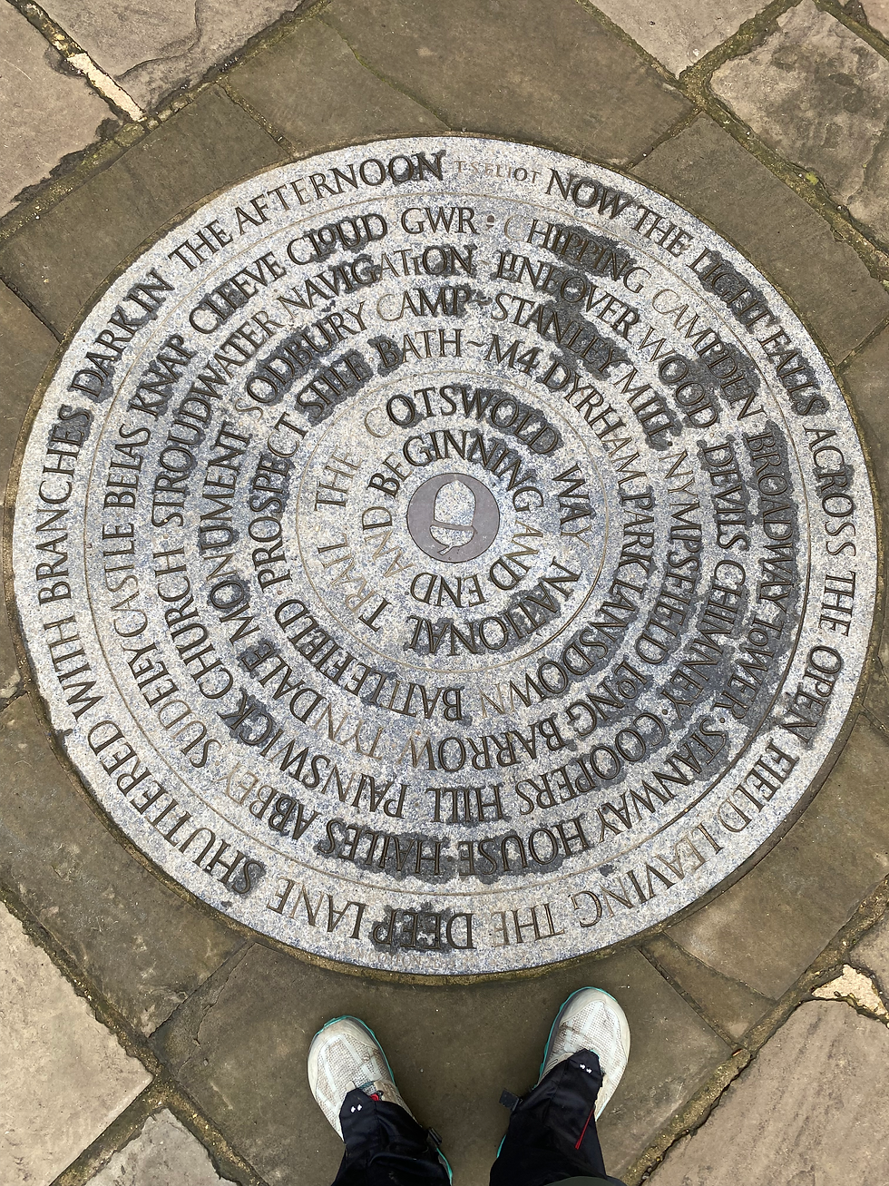
At the terminus/start is a lovely carved stone, and throughout, the path is signposted well. I only got off track a bit on the last day traveling through a village. But like any good geoscientist, I had a map and a relatively good sense of direction based on where the sun was, and sorted it out quickly.


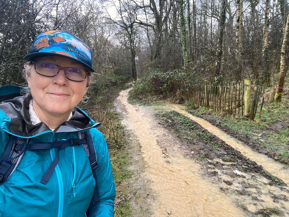
That first day (Friday) was nice right until I hit the trail, about 2PM. Then the rain started. The water table is very close to the surface, and the limestone landscape and resulting clay soils does not infiltrate the rain easily. A good recipe for runoff in abundance. Below was a short break in the rain, about the same time I found a mini umbrella on the trail that had likely fallen out of someone’s pack. I happily retrieved it and used it the rest of the day. On Friday I made it all the way to Broadway, a picturesque town about six miles south of Chipping Campden, and passed by the Broadway Tower near dusk, finally making it to Broadway as it was getting dark. I was soaked and decided to stay in that night, having dinner at the pub where I was staying, It was lovely to enjoy a pint and some good old steak and Guinness pie with chips and mushy peas before retiring for the night.


The trail (actually the wrong trail, I had to backtrack back up this after sliding most of the way down) AND Broadway Tower from the trail.
Saturday morning was a great full English breakfast in the pub (poached eggs, toast, bacon, sausage, black pudding, baked beans, fried tomato and fried mushrooms). A good start to the day. I was eating by the window and suddenly saw runners filing by in twos and threes wearing race bibs and carrying map and compass. It turns out it was an adventure race/orienteering competition. The goal was for the runners to visit as many checkpoints as possible, and returning to the start before the end of the six hours. I watched these groups run up and down footpaths and lanes as I hiked away from Broadway that morning to the tiny village of Wood Stanway. Most of the houses were stone cottages, but in Stan____ I came across a half timbered house, and upon closer examination, I noticed the wooden pegs holding the cross-timbers together.


An old half-timbered house with stone foundation and wooden pegs (looks like they need a good pounding to set back in place!)
The weather was fantastic on Saturday, no rain and while it started out cold, it warmed up nicely. The way was sometimes muddy and slippery, but often the path was gravel and well maintained. I stopped for lunch after making the second and final climb of the day up from the village of Wood Stanway.


Happy trails and a lovely view for lunch.
I did 15 miles from Broadway to Winchcombe, although some of that was probably from the pub where I watched the Six Nations rugby match between --- goodness, I can’t remember. But the ale was good. In fact, so good that I went back there after checking in to my nightly accommodations (at a different pub) for dinner! Yes, another meat pie. The British do pub food very well.
I hit the trail by 8AM Sunday as I had another long day ahead of me. I had planned about 10 miles along the Way, with a side trail taking me to Cheltenham, then (hopefully) a bus ride to the train station and a train home. The first part of the day involved a good climb up to Belas Knapp, a Neolithic Long Barrow dating about 5000 years old, with a false entrance at one end, and several real entrances on the sides. The Barrow was a burial chamber, although it was excavated in the 1830s and restored in the last couple of decades.


Belas Knapp Barrow from a distance, and one of the (real) side entrances. Yes, of course I went inside!
One of the prettiest sights I saw was this spring. The brick structure was built into the hillside and had been there a long time. I wonder why it was built, but I can imagine it may have been used as a spring house to store butter and milk, and the weir at the outlet discharged water into the stone basin beneath – a good watering trough for cattle.

The final climb was up Cleeve Common, overlooking Cheltenham. The Common was a community space with many hiking trails, great views, loads of walkers and a golf course right on top. Interestingly, the public footpaths went directly across the fairways, and there were several signs asking walkers and golfers to be aware of and civil to each other. Before the Common was the Common, many quarries were in use, where rock was quarried for building stone. You can still see evidence in the landscape quite clearly.

Rock quarry on Cleeve Common.
As it turned out, there were no conveniently timed buses from the trail into Cheltenham, so I added an extra 3 miles to trek to the station, arriving just in time to catch the train to Birmingham, then Derby (pronounced Darby), then Nottingham, and finally Grantham. I sprung for the taxi back from Grantham to Harlaxton instead of walking the 3.5 miles and arrived back in time for Sunday dinner. Success!


Comments